Washington [Japanese language] (24 in x 20 in)
1:1,100,000
LIMITED EDITION OF 20 PRINTS
20 inch by 24 inch flat wall map, printed on heavy fine paper. Shipped rolled.
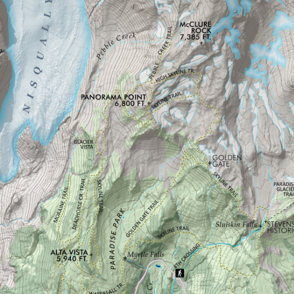
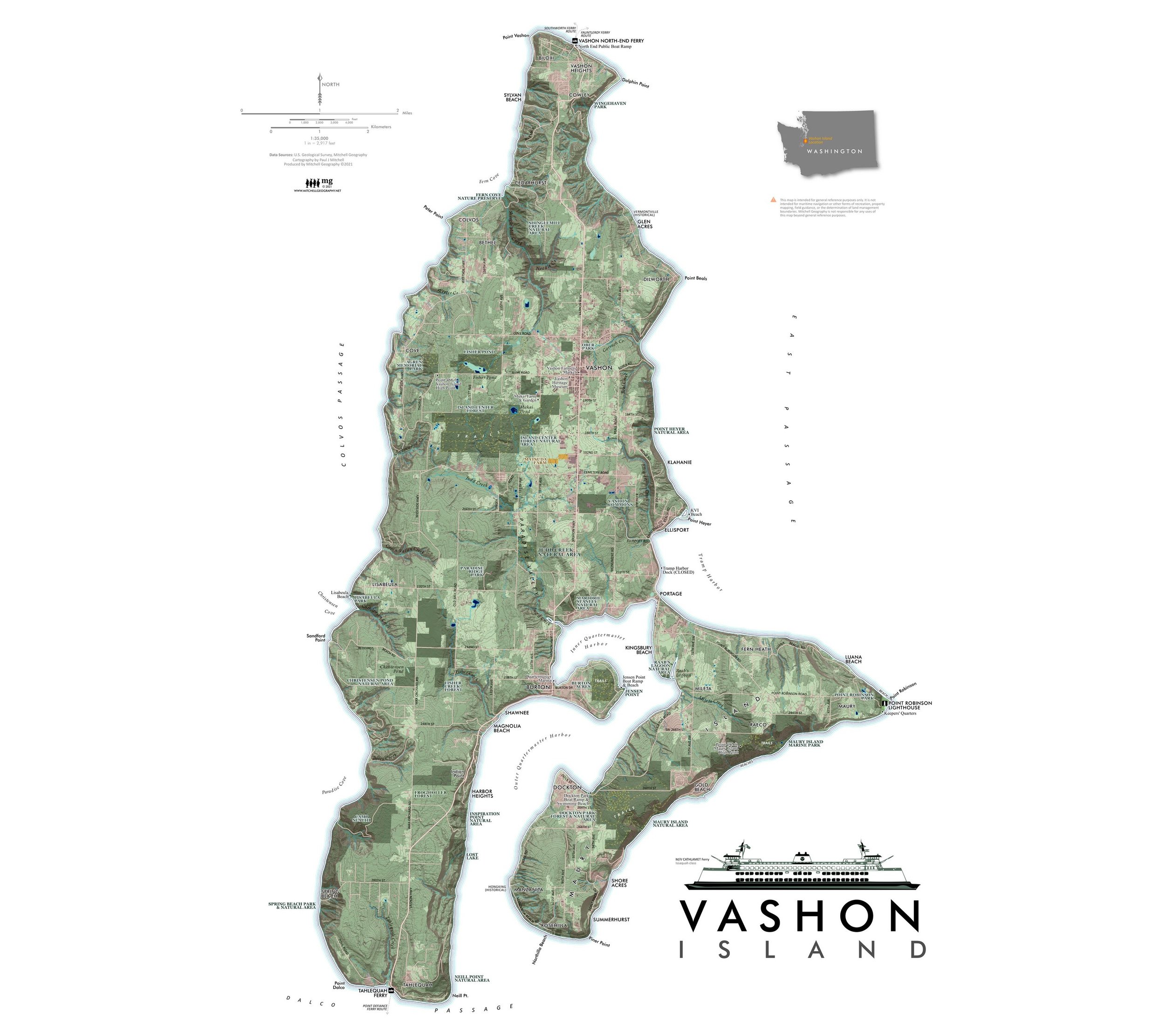
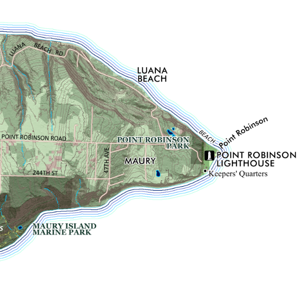
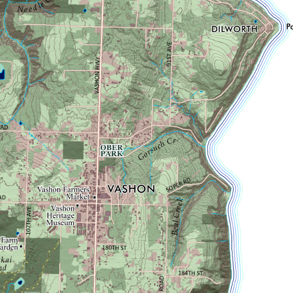
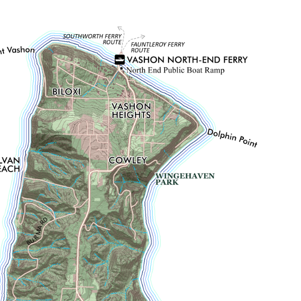
Japanese language general reference map of Washington State. Featuring a classic landscape tint of the forested, agricultural, and urban lands. Detailed reference labels includes cities/towns/places, state parks, alpine ski areas, highways/major roads, prominent summits of interest, landforms of significance, National Park units, and National Wildlife Refuges. The Pacific Crest Trail and Pacific Northwest Trail are also featured.
1:1,100,000
LIMITED EDITION OF 20 PRINTS
20 inch by 24 inch flat wall map, printed on heavy fine paper. Shipped rolled.
Japanese language general reference map of Washington State. Featuring a classic landscape tint of the forested, agricultural, and urban lands. Detailed reference labels includes cities/towns/places, state parks, alpine ski areas, highways/major roads, prominent summits of interest, landforms of significance, National Park units, and National Wildlife Refuges. The Pacific Crest Trail and Pacific Northwest Trail are also featured.