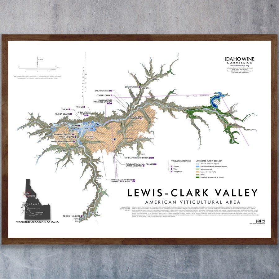


Lewis-Clark Valley (American Viticultural Area)
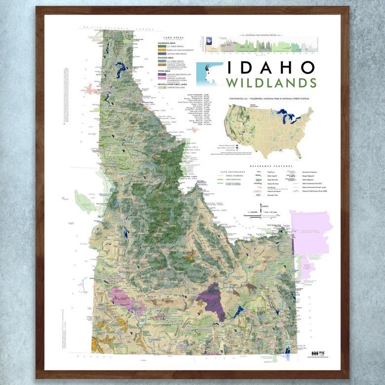
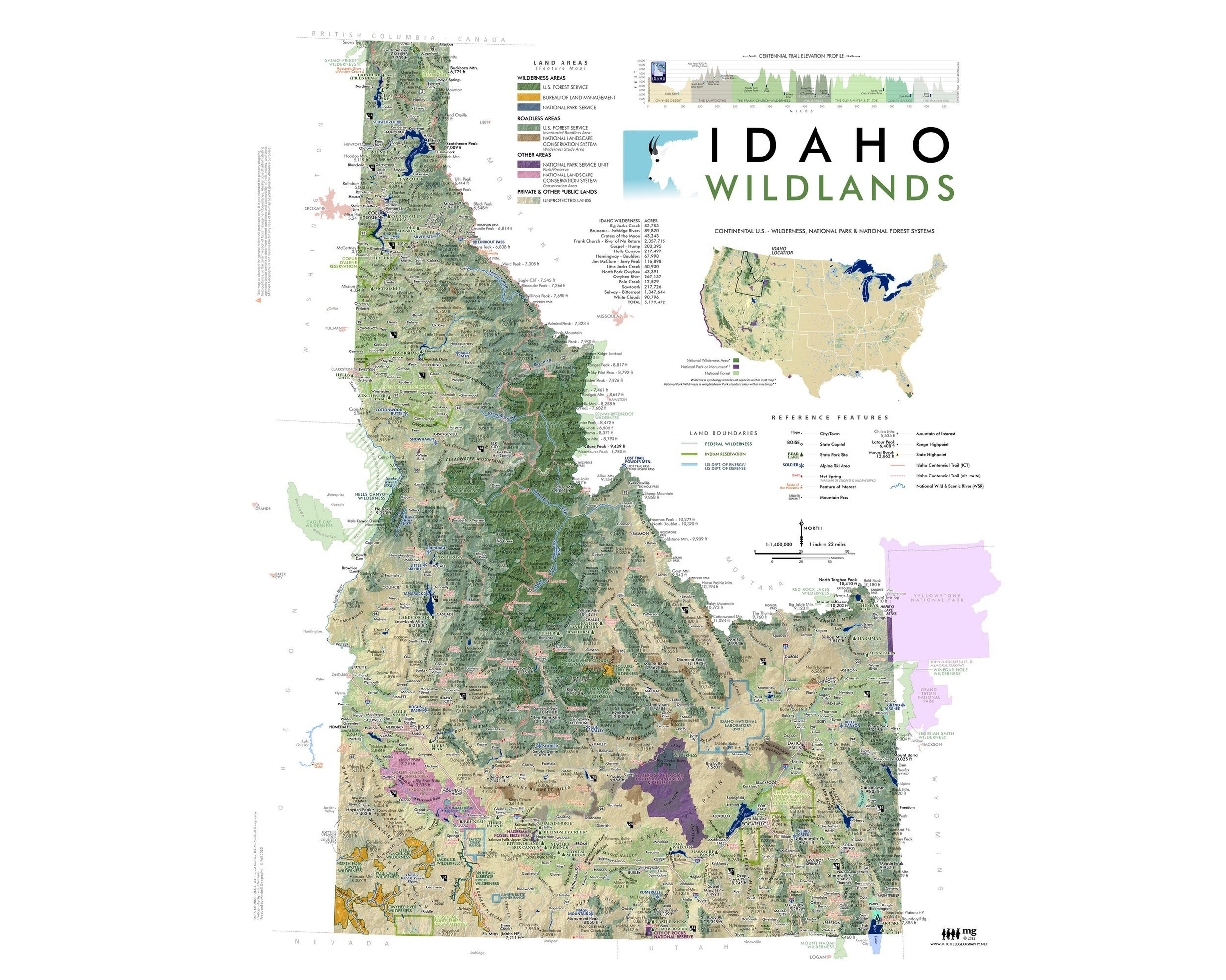
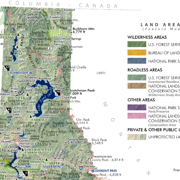
24 inch by 18 inch flat wall map (landscape formatted)
or
19 inch x 13 inch flat wall map (landscape formatted)
Printed on heavy fine paper. Shipped rolled or flat, size and volume dependent.
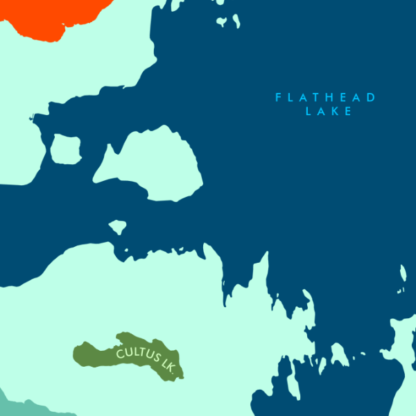
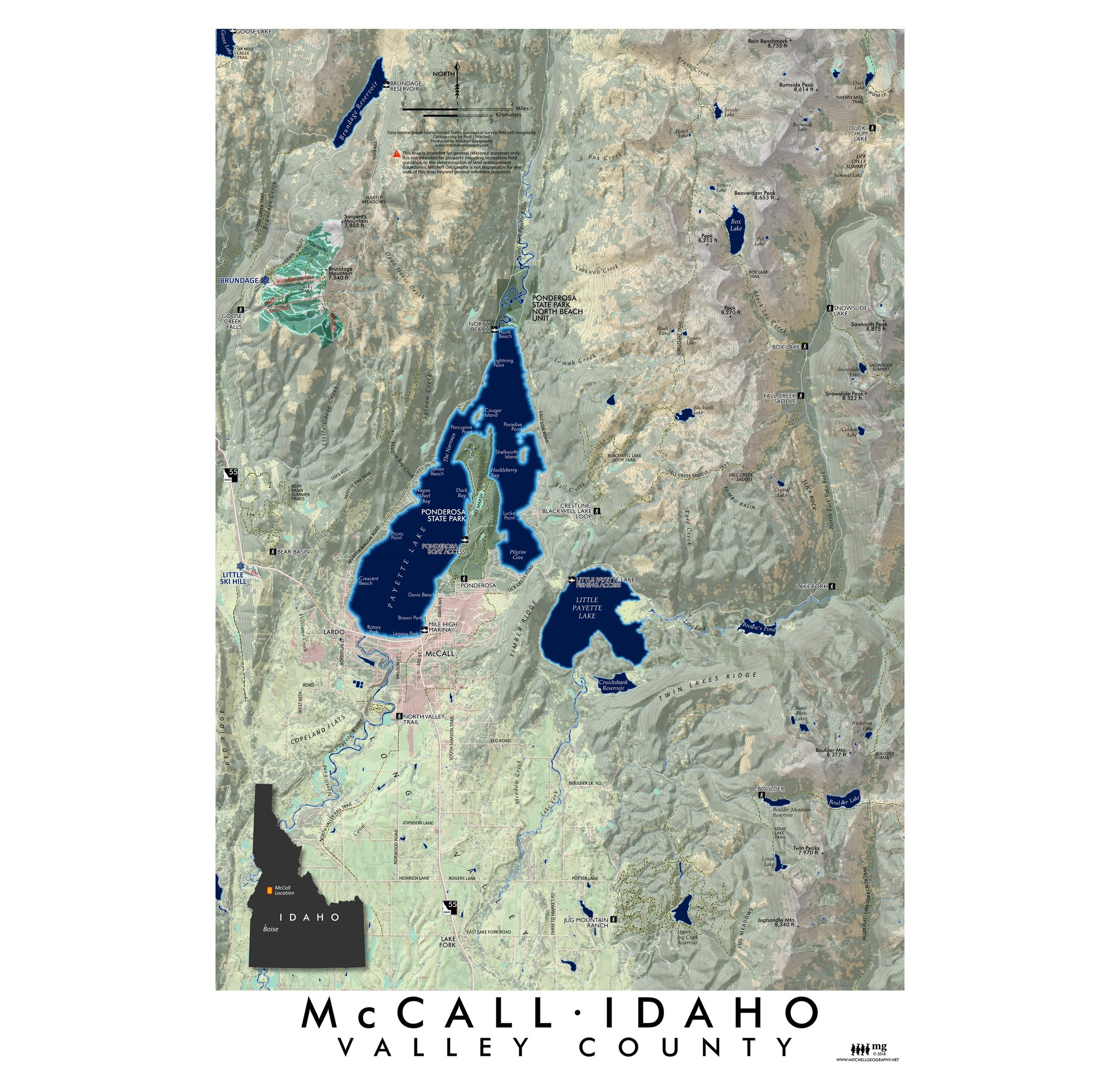
Lewis-Clark Valley AVA (American Viticultural Area) - Idaho and Washington. Fall 2021 edition made for the Idaho Wine Commission. Updated to include current wineries, vineyards, and tasting rooms within the federally designated wine region which includes the Lewiston/Clarkston (WA) urban area as well as the associated Clearwater River canyons and uplands which make up the AVA. The basemap features a generalized parent geology. Some features mapped are under construction at this time and expected opening within a year of map publication date (10/5/21).
24 inch by 18 inch flat wall map (landscape formatted)
or
19 inch x 13 inch flat wall map (landscape formatted)
Printed on heavy fine paper. Shipped rolled or flat, size and volume dependent.
Lewis-Clark Valley AVA (American Viticultural Area) - Idaho and Washington. Fall 2021 edition made for the Idaho Wine Commission. Updated to include current wineries, vineyards, and tasting rooms within the federally designated wine region which includes the Lewiston/Clarkston (WA) urban area as well as the associated Clearwater River canyons and uplands which make up the AVA. The basemap features a generalized parent geology. Some features mapped are under construction at this time and expected opening within a year of map publication date (10/5/21).