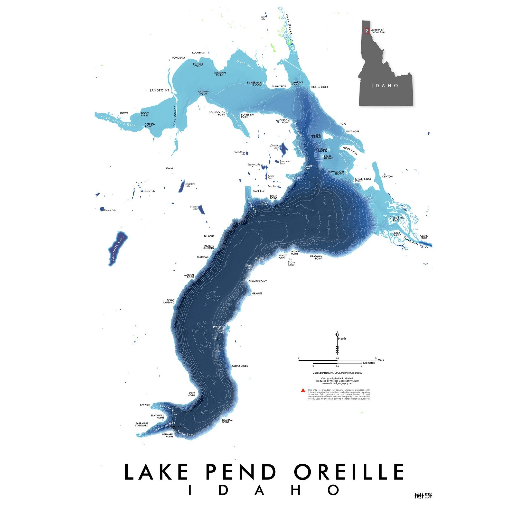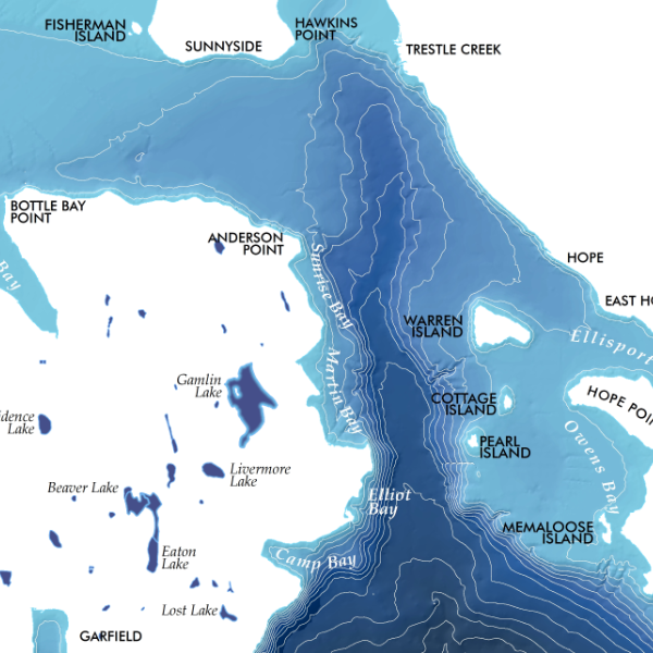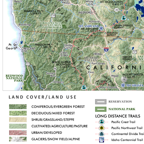
Bighorn Crags Idaho (19 in x 13 in)
1:60,000
13 inch by 19 inch flat wall map, printed on heavy fine paper. Packed and shipped flat.
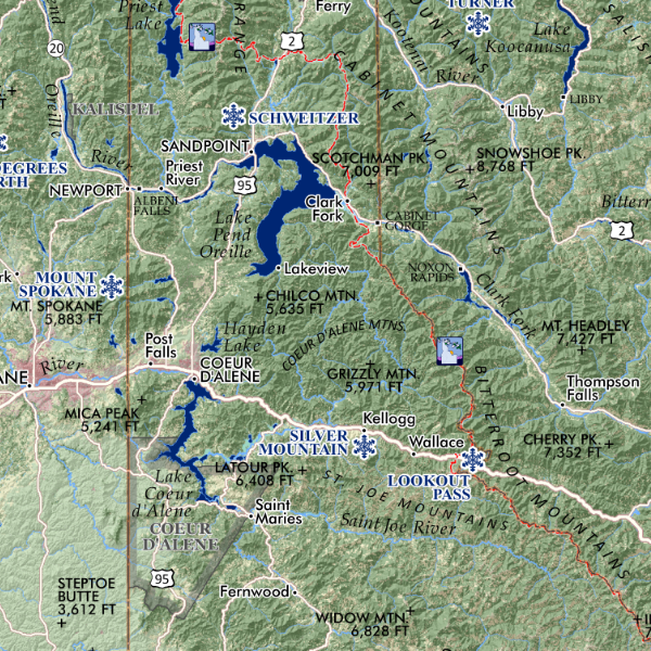
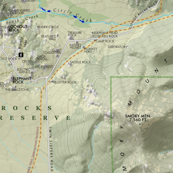
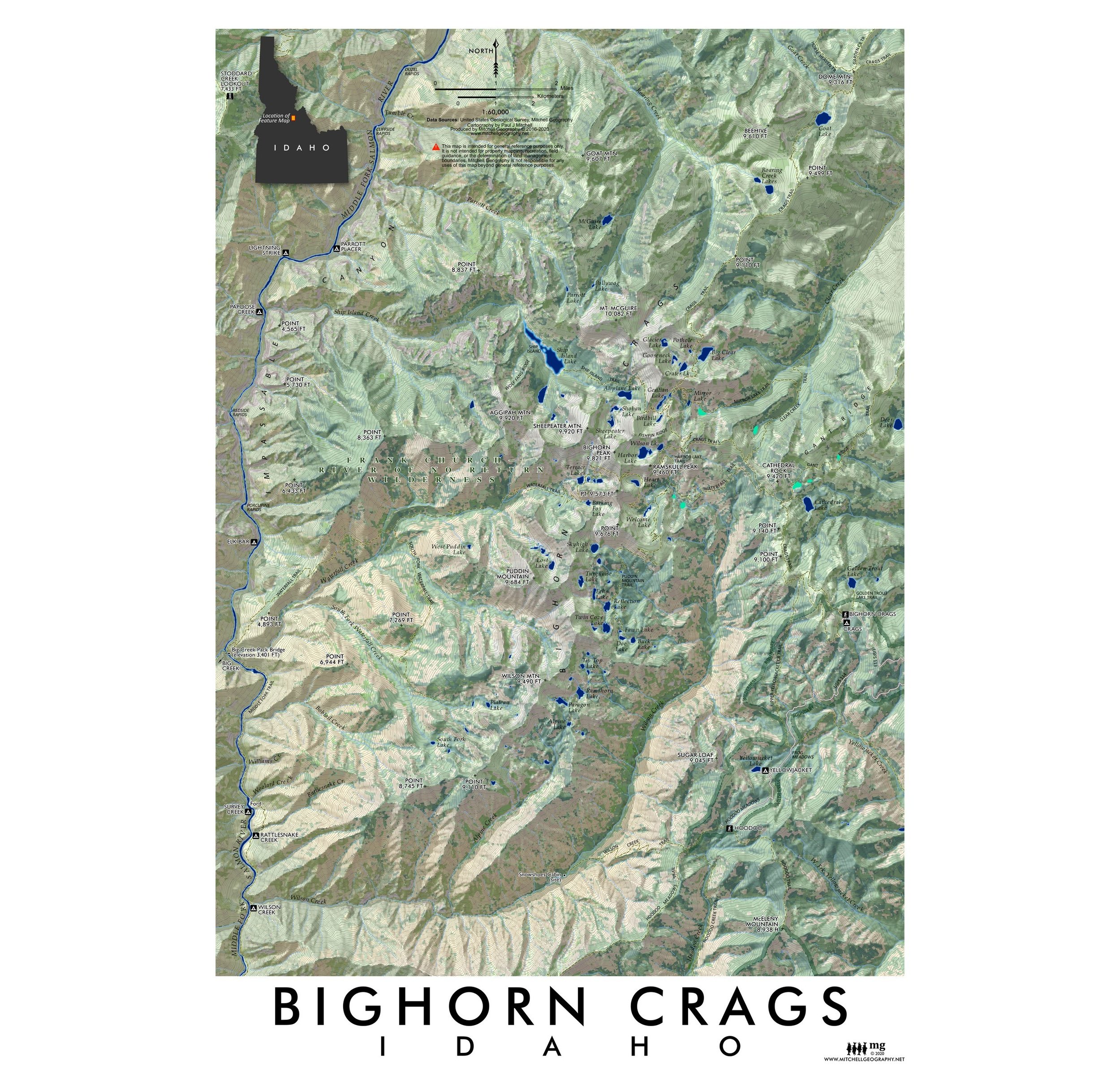
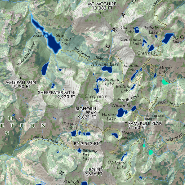
Bighorn Crags, Idaho. Feature vicinity map of the Bighorn Crags, Frank Church - River of No Return Wilderness in Central Idaho. Map includes trails, lakes, rivers, features of interest, official and provincial summit names area included for reference.
1:60,000
13 inch by 19 inch flat wall map, printed on heavy fine paper. Packed and shipped flat.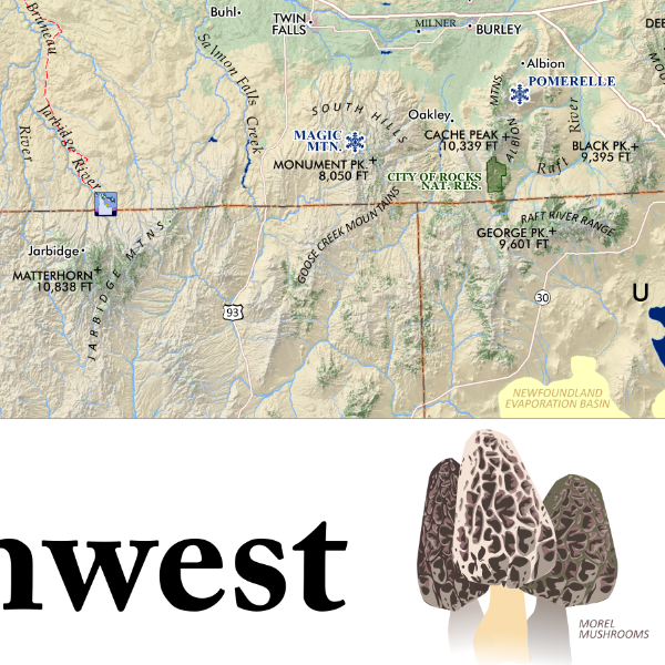
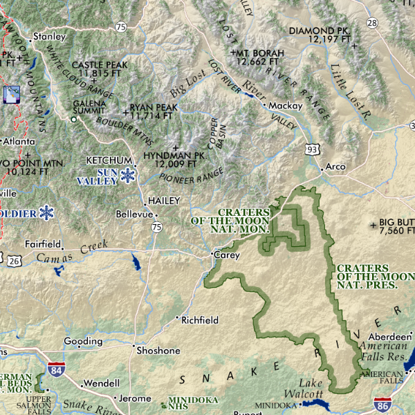
Bighorn Crags, Idaho. Feature vicinity map of the Bighorn Crags, Frank Church - River of No Return Wilderness in Central Idaho. Map includes trails, lakes, rivers, features of interest, official and provincial summit names area included for reference.